

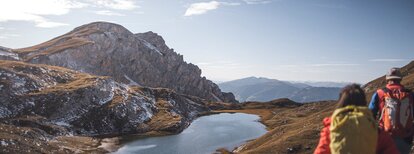



Take Citybus 435.2 to the 'Bad Bergfall' stop (starting point of the hike). Begin along the forest road, then continue on trail no. 32 to the Jägerhütte (1,900 m), and further via the Lapedures saddle to the Lapedures Joch (2,213 m). A possible refreshment stop is at the Hochalpenhütte Fojedöra (2,214 m). Continue on trail no. 6 to the Hochalpensee, then descend via the Dreifingerscharte (trail marker no. 3). At the trail junction, follow trail no. 3A back to the 'Bad Bergfall' stop. Return with Citybus 435.2.
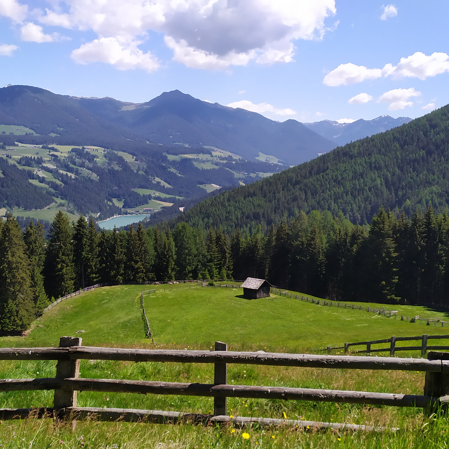
Take Citybus 435.2 to the 'Bad Bergfall' stop (starting point of the hike). Follow trail no. 6B to the Lanzwiesenalm (1,802 m), then continue either via the forest road or trail 6A to the Angereralm (1,401 m), and further descend to the 'Abzweigung Panorama' stop. Return with Citybus 435.1.

Take Citybus 435.2 to the 'Niederolang, Kirche' stop (starting point of the hike). Follow trail no. 2 to Lake Pracken (1,878 m), then continue on trail no. 5B to the Oberegger Alm (1,560 m – refreshment stop available) and further descend to Geiselsberg. Return with Citybus 435.2 from the 'Geiselsberg, Feuerwehr' stop.